
Skamper
10.5km

Kendal Queen’s Road to Sizergh Castle — 10.5 km Running Point-to-point

122 mAscent
Paved0%Paved
2/5Hilly
Kendal Queen’s Road to Sizergh Castle running route
Loading map…

Photos

Kendal Queen’s Road to Sizergh Castle - Photo 1
Kendal Queen’s Road to Sizergh Castle - Photo 2
Kendal Queen’s Road to Sizergh Castle - Photo 3
Kendal Queen’s Road to Sizergh Castle - Photo 4
Kendal Queen’s Road to Sizergh Castle - Photo 5

Elevation

Explore the Kendal Queen’s Road to Sizergh Castle

Location: Kendal, Westmorland and Furness

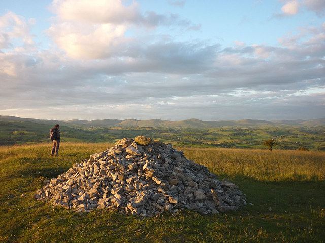
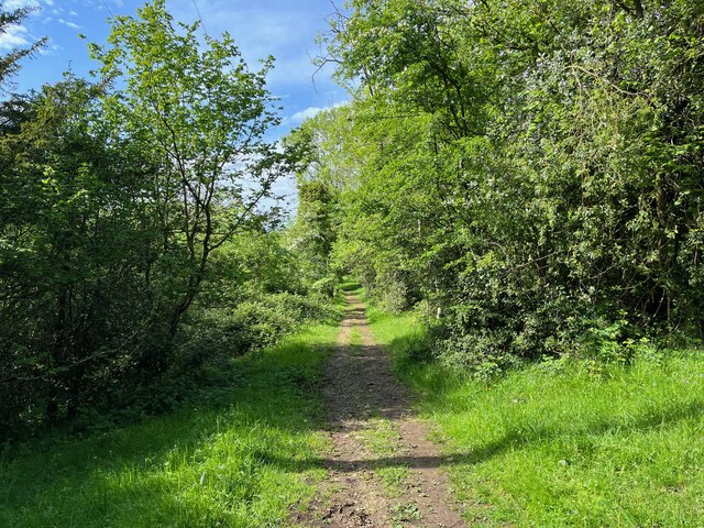
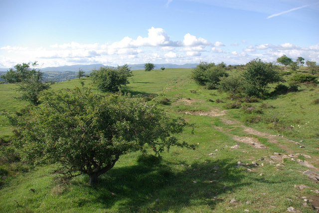
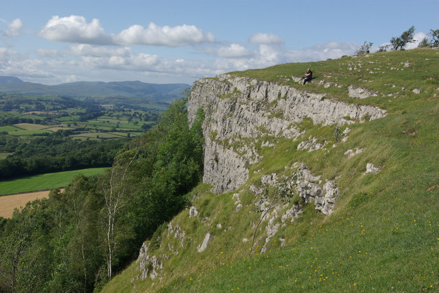
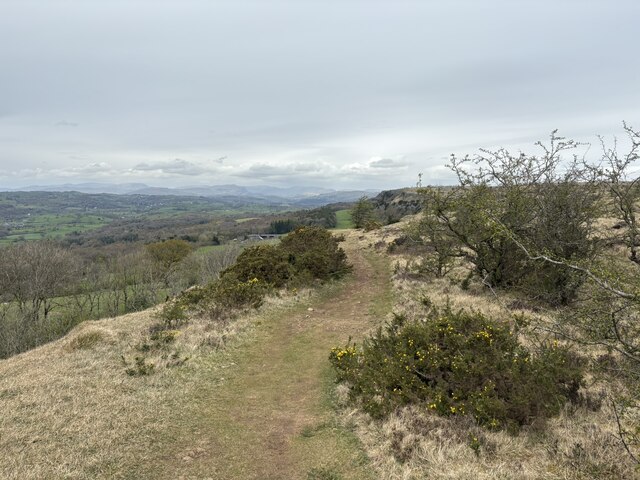
After skirting the edge of Serpentine Woods, the route heads to the top of Cunswick Scar, then along the full length of Scout Scar, past Helsington Church and then gradually descends to Sizergh Castle (National Trust property with a good cafe 🙂). Then, after a short walk or run to the nearby bus stop, it’s possible to return to Kendal on the 555 bus.

Common questions

Reviews (1)

LesSept 2026

A lovely traffic-free route with good views and a cafe to finish at

Shoe suggestion: Trail

Sign in to write a review.

Keep this run brilliant — report an issue

Every Skamper route is community-monitored. If the path is unclear, blocked, dangerous, or the GPX doesn't match reality — tell us and we'll check it.

Runs on this route

Each runner appears once, with their fastest time — however they recorded it (app, Strava or Garmin).

Loading leaderboard…

Nearby Runs

Explore more runs