
Skamper
5.8km

Kendal - Carus Green Trail — 5.8 km Running Route

Kendal - Carus Green Trail is a 5.8 km (3.6 miles) loop in Kendal, Westmorland and Furness: flat, with 33 m of climb, on mixed ground.

33 mAscent
Paved50%Paved
1/5Hilly

Start anywhere route. Jump on the course line at any point — wherever you start will also be your finish point.

Kendal - Carus Green Trail running route
Loading map…

Photos

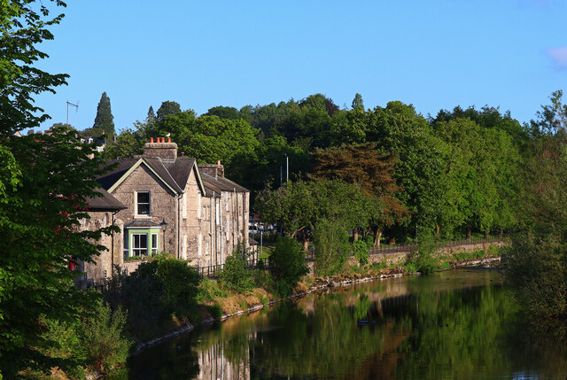
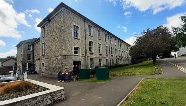
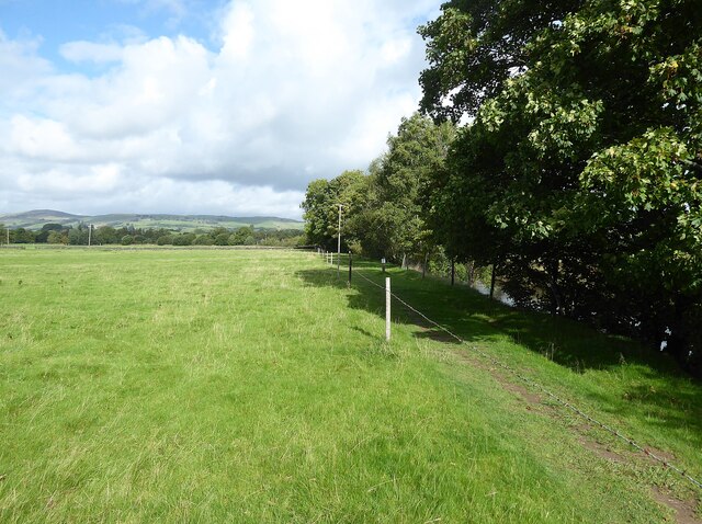
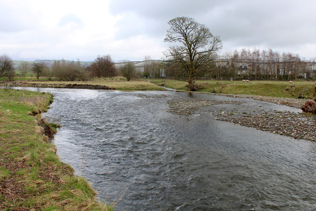
Kendal - Carus Green Trail - Photo 1
Kendal - Carus Green Trail - Photo 2
Kendal - Carus Green Trail - Photo 3
Kendal - Carus Green Trail - Photo 4
Kendal - Carus Green Trail - Photo 5

Elevation

Explore the Kendal - Carus Green Trail

Location: Kendal, Westmorland and Furness

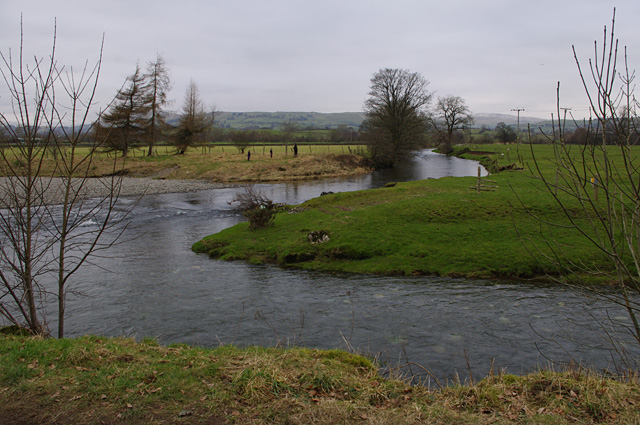
One for a drier time as the paths can be muddy.. Set on the northern edge of Kendal, this circuit of two adjoining loops links riverside running with open countryside. With only about 35 metres of gentle climbing spread across the distance, the terrain stays largely flat with only mild undulations. Underfoot is a roughly even mix of paved surfaces and off-road tracks, alternating between quiet lanes and grassy paths.

One section traces the bank of the River Kent, with Carus Green Golf Club sitting just across the water, while the other loop swings out towards Hallgarth. The riverside ground can become soft and muddy after heavy rain, though stretches along Burneside Road provide firmer footing. A straightforward run blending town-edge lanes with a peaceful waterside path.

Common questions

How long is this route?
It's a 5.8 km loop in Kendal, Westmorland and Furness with around 33 metres of total ascent.
How long will it take me to run it?
Use the 'Your time estimate' panel at the top of this page — it predicts your finish time for this exact route from your age, sex and most recent benchmark, accounting for distance, ascent and surface.
Is it hilly?
Barely. It rates 1 out of 5 on our hill scale — gently undulating. About 6 metres of climb per kilometre, 33 metres in total.
What's the surface like?
It's roughly half paved (50%) and half trail. Light trail shoes are the safest pick, especially after rain.

Reviews (1)

MattNov 2026

Hard going if boggy, but a nice route when it's dry underfoot.

Shoe suggestion: Road

Sign in to write a review.

Keep this run brilliant — report an issue

Every Skamper route is community-monitored. If the path is unclear, blocked, dangerous, or the GPX doesn't match reality — tell us and we'll check it.

Runs on this route

Each runner appears once, with their fastest time — however they recorded it (app, Strava or Garmin).

Loading leaderboard…

Nearby Runs

Explore more runs