

Skamper
5.6km

Portsdown Hill circular — 5.6 km Running Route

by Skamper

Portsdown Hill circular is a 5.6 km (3.5 miles) loop in Boarhunt, Hampshire: gently rolling, with 65 m of climb, on mostly trail ground.

65 mAscent
Paved35%Paved
2/5Hilly

Start anywhere route. Jump on the course line at any point — wherever you start will also be your finish point.

Portsdown Hill circular running route
Loading map…

Photos

Portsdown Hill circular - Photo 1
Portsdown Hill circular - Photo 2
Portsdown Hill circular - Photo 3
Portsdown Hill circular - Photo 4
Portsdown Hill circular - Photo 5
Portsdown Hill circular - Photo 6
Portsdown Hill circular - Photo 7

Elevation

Explore the Portsdown Hill circular

Location: Boarhunt, Hampshire

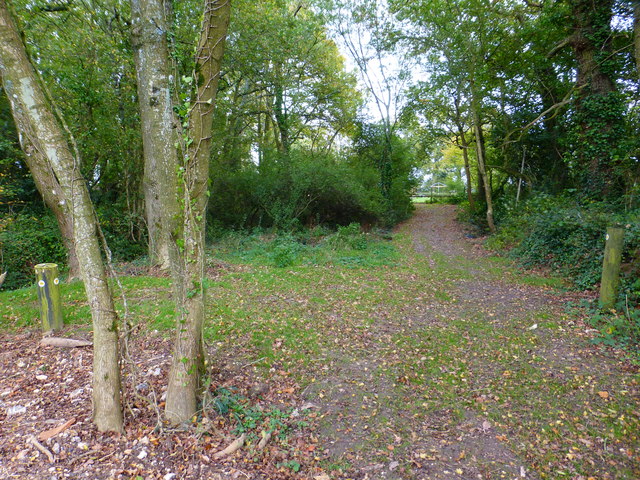
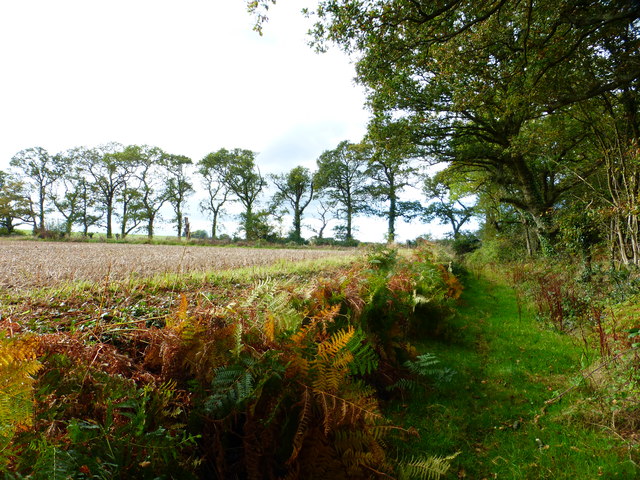
This 5.5 km circular run explores the rolling chalk landscape below Portsdown Hill, just outside Boarhunt. Underfoot is mostly trail and path, tracking field margins and woodland borders that skirt Stroud Coppice, connected by occasional stretches of quiet road along Portchester Lane and a length of the Allan King Way.

Around 70 metres of climbing features across the circuit, dominated by a single sustained rise that accounts for nearly all the elevation gain, balanced elsewhere by a long, runnable descent. The unpaved paths can become slick and heavy after wet Hampshire weather, but offer firm, continuous running in drier conditions.

A balanced countryside loop mixing woodland fringe, quiet country lanes, and open field tracks.

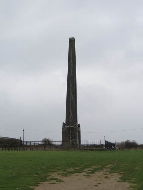
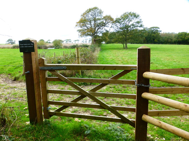
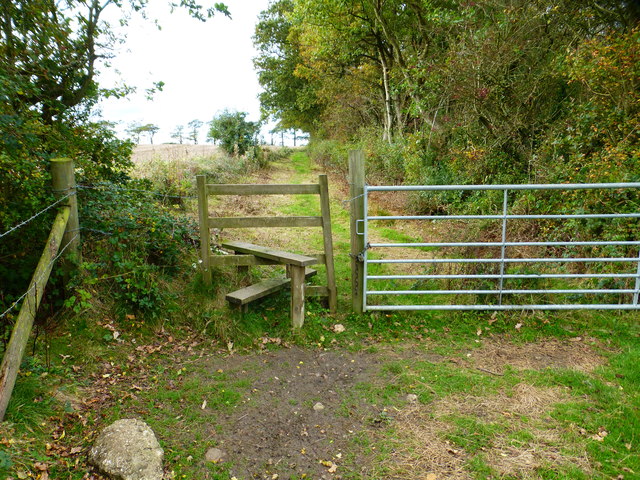
Some helpful details: Large lay-by by Memorial. Kissing gate to enter, first field has defined path, second field goes diagonally downhill and path can be rough. Left down quiet country road downhill. There is a hidden style in the hedge crossing the next field which often has no path but is a designated public footpath across field. Carry straight on through wooded area and a field which can be boggy at the style. Once you get to the road it is quiet but so beware of fast cars. The road off to the right is much quieter and then take the track to the left which is gated but accessible. Cross another field which is not always defined, but go straight across until you get to bollards. Turn left uphill on a quiet road. The footpath is on the left accessed by steps. Across a field again and a style will take you behind the Royal Armouries and the around a mound, through a kissing gate and back to the lay-by. Keep dogs on a lead at all times.

Common questions

How long is this route?
It's a 5.6 km loop in Boarhunt, Hampshire with around 65 metres of total ascent.
How long will it take me to run it?
Use the 'Your time estimate' panel at the top of this page — it predicts your finish time for this exact route from your age, sex and most recent benchmark, accounting for distance, ascent and surface.
Is it hilly?
Mildly. It rates 2 out of 5 on our hill scale — rolling but easy on the legs. About 12 metres of climb per kilometre, 65 metres in total.
What's the surface like?
It's mostly off-road (around 65% trail). Trail shoes are recommended.

Reviews (1)

SlightlyNov 2026

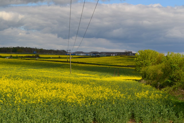
A quiet multi terrain hilly run. Superb views across the Meon Valley and South Downs at start of run. Much of run is over Southwick Estate land.

Shoe suggestion: Trail

Sign in to write a review.

Keep this run brilliant — report an issue

Every Skamper route is community-monitored. If the path is unclear, blocked, dangerous, or the GPX doesn't match reality — tell us and we'll check it.

Runs on this route

Each runner appears once, with their fastest time — however they recorded it (app, Strava or Garmin).

Loading leaderboard…

Nearby Runs

Explore more runs