

Skamper
11.2km

Waterlink Way - Kent House to Greenwich — 11.2 km Running Point-to-point

by Skamper

Waterlink Way - Kent House to Greenwich is a 11.2 km (6.9 miles) point-to-point in Penge, England: flat, with 18 m of climb, on paved ground.

18 mAscent
Paved100%Paved
0/5Hilly
Waterlink Way - Kent House to Greenwich running route
Loading map…

Photos

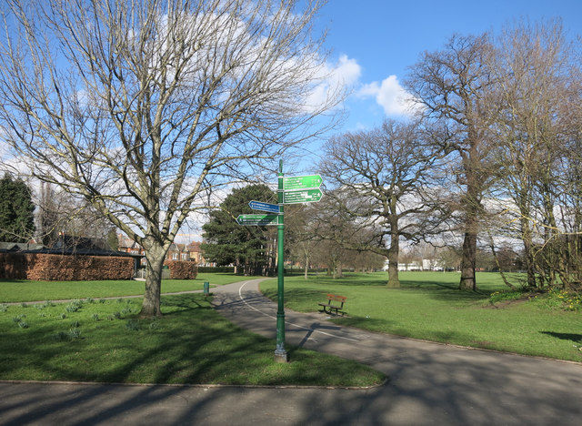
Waterlink Way - Kent House to Greenwich - Photo 1
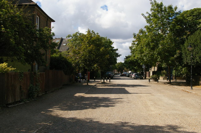
Waterlink Way - Kent House to Greenwich - Photo 2
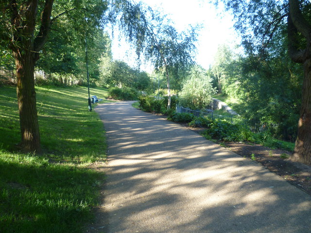
Waterlink Way - Kent House to Greenwich - Photo 3
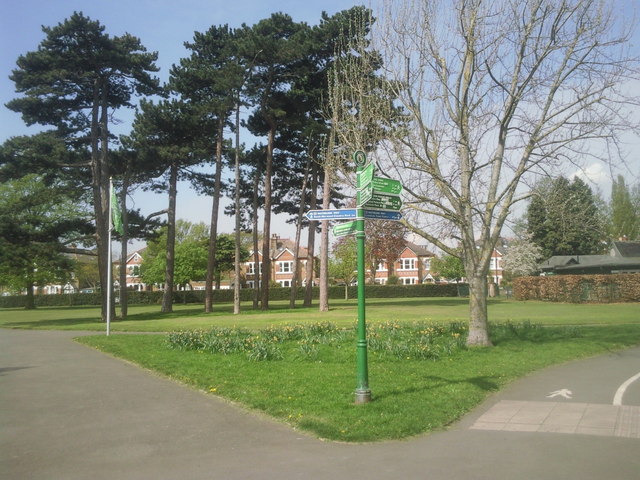
Waterlink Way - Kent House to Greenwich - Photo 4

Elevation

Explore the Waterlink Way - Kent House to Greenwich

Location: Penge, England

This point-to-point run follows the Waterlink Way from Kent House to Greenwich, linking parks, riverside paths and traffic-free green corridors through south-east London. The route is predominantly on paved surfaces, with occasional compact paths, making it well suited to maintaining a steady pace. Following the course of the River Ravensbourne for much of the journey, it passes through a series of parks and open spaces before reaching the riverside at Greenwich. With minimal climbing and a good balance of urban and green surroundings, it’s an enjoyable route for runners looking to explore one of London’s longest continuous off-road corridors.

Common questions

How long is this route?
It's a 11.2 km point-to-point in Penge, England with around 18 metres of total ascent.
How long will it take me to run it?
Use the 'Your time estimate' panel at the top of this page — it predicts your finish time for this exact route from your age, sex and most recent benchmark, accounting for distance, ascent and surface.
Is it hilly?
No. It rates 0 out of 5 on our hill scale — essentially flat. About 2 metres of climb per kilometre, 18 metres in total.
What's the surface like?
It's 100% paved — runnable in road shoes year-round.

Reviews (1)

AlexAug 2026

A scenic run along one of South East London's best traffic-free routes along the Waterlink Way from Kent House to Greenwich - Cutty Sark plenty of greenery and waterside scenery - a favourite and nice run - easy miles

Shoe suggestion: Road

Sign in to write a review.

Runs on this route

Each runner appears once, with their fastest time — however they recorded it (app, Strava or Garmin).

Loading leaderboard…

Nearby Runs

Explore more runs