
Skamper
8.8km

Walton & River Sow — 8.8 km Running Route

Walton & River Sow is a 8.8 km (5.5 miles) loop in Walton on the Hill, Staffordshire: flat, with 29 m of climb, on mostly paved ground.

29 mAscent
Paved60%Paved
0/5Hilly

Start anywhere route. Jump on the course line at any point — wherever you start will also be your finish point.

Walton & River Sow running route
Loading map…

Photos

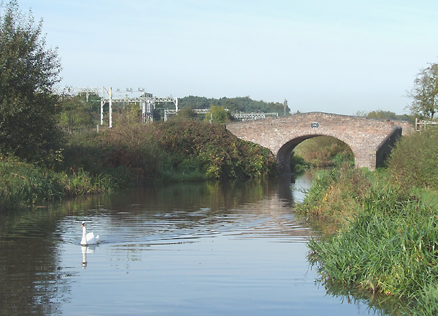
Walton & River Sow - Photo 1
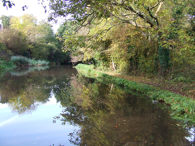
Walton & River Sow - Photo 2
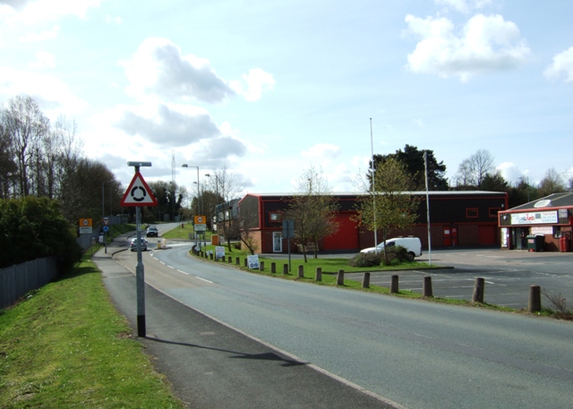
Walton & River Sow - Photo 3

Elevation

Explore the Walton & River Sow

Location: Walton on the Hill, Staffordshire

This nearly 9 km circular route around Walton on the Hill offers a mostly paved run, with an off-road section alongside the River Sow The circuit is relatively flat, with around 30 metres of climbing concentrated in one part of the loop, followed by a single main descent.

The route takes in a stretch of Milford Road and Holdiford Road, before joining The Way for the Millennium path which runs alongside the River Sow. Road shoes fine when dry otherwise the path can be muddy in wet conditions when trail shoes may be the better choice.

Common questions

How long is this route?
It's a 8.8 km loop in Walton on the Hill, Staffordshire with around 29 metres of total ascent.
How long will it take me to run it?
Use the 'Your time estimate' panel at the top of this page — it predicts your finish time for this exact route from your age, sex and most recent benchmark, accounting for distance, ascent and surface.
Is it hilly?
No. It rates 0 out of 5 on our hill scale — essentially flat. About 3 metres of climb per kilometre, 29 metres in total.
What's the surface like?
It's 60% paved with some unsurfaced sections — road shoes are fine for most runners.

Reviews (0)

Be the first to review this route

Sign in to share your thoughts about Walton & River Sow.

Sign in to write a review.

Runs on this route

Each runner appears once, with their fastest time — however they recorded it (app, Strava or Garmin).

Loading leaderboard…

Nearby Runs

Explore more runs