
town
Runs in and around Normanton
4 running routes in Normanton · 27 more nearby
Runners in and around Normanton get anything from 6km to 8.5km, and it's a mix of pavement and trail. Most of it is flat enough to hold an even pace. Most are loops, so you finish back where you started. Featherstone and Castleford are close enough to be worth a look too.
Runs in Normanton

Aire and Calder Canal Loop
Wakefield, England
Beginning and ends at the entrance to the Golf Club at the bend on Whitworth Lane, heads to Wakefield Way, makes Around Aire and Calder…

Bottom Boat to Pinder Green
Wakefield, England
Starts and finishes at the path at the end of St Peters's crescent near Bottomboat and returns from Junction with Pinders Green Walk near…

Newland Park
Wakefield, England
A mostly off-road route begins and ends at the junction of Newland Lane and Smirthwaite View, looping anticlockwise around Newland Park…

Southern Washlands and Newlands Hall
Wakefield, England
Around the Half Moon and River Calder, starting at the junction of Welbeck Lane and the A6194 and continuing to The Half Moon and Newland…
Runs around Normanton
Within roughly 10 km, sorted by distance. Showing 24 of 27.

St Aidens Nature Reserve from Wood Row
Leeds, England
Starting from Shan House Bridge and looping around the Nature Reserve in a clockwise motion.

Four Bridges
Castleford, England
A loop on mixed street, lanes and trails. Some paths are grassy so can be muddy in wet conditions.

Fairburn Ings
Leeds, England
Beginning and ends at the start of the canal path on the NE side of Barnsdale Road (A656), continues along the Aire and Calder navigation…

Walton Colliery Nature Park
Wakefield, England
An Adjacent loops in the shape of an 8 starts and finishes on the SW corner of the car park, moves up to complete a full anticlockwise…
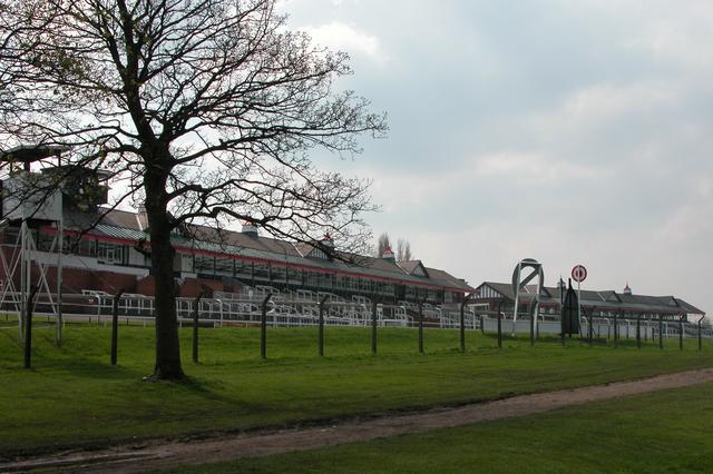
Pontefract racecourse clockwise loop
Pontefract, West Yorkshire
A clockwise loop around Pontefract Racecourse follows the well-used perimeter path on a mostly flat, firm surface.
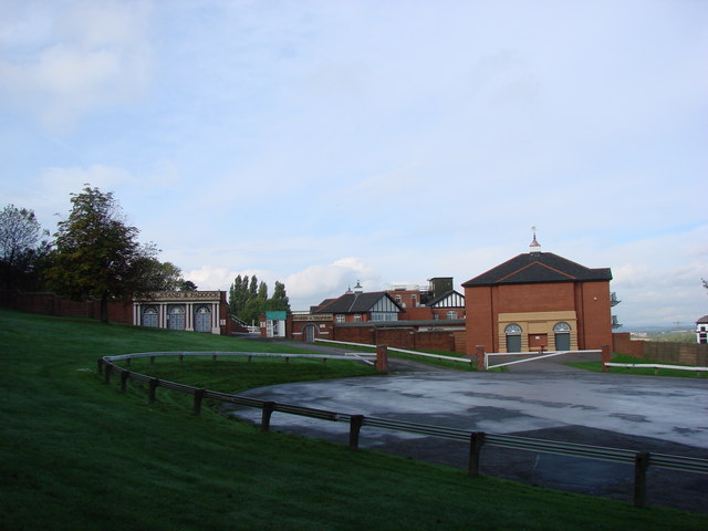
Pontefract racecourse anticlockwise loop
Pontefract, West Yorkshire
An anticlockwise loop around Pontefract Racecourse uses the broad perimeter path, providing a flat and consistent surface throughout.

Wakefield Way to Cutsyke
Wakefield, England
Starting and ends at road junction at NW of car park, Pontefrct Tanshelf, turning Point: Path junction just before reaching Whistler Drive…

Allerton Bywater 5
Allerton Bywater, England
A 5k route from Allerton Bywater heads along the old railway path, providing a flat, easy-to-navigate surface.

St Aidan's Nature Reserve
Leeds, England
Starting from the entrance to the RSPB Reserve and looping round Eastern Reedbed, Western Reedbed, Lemonroyd Lake, Main Lake and Bowers…

Castle and Pugneys Country Park
Wakefield, England
A single clockwise fully off-road loop around Pugneys starts and finishes at the south end of Castle car park at Sandal, passing through…

Woodlesford Road Loop
Leeds, England
A straightforward road run around Woodlesford, ideal for those seeking a convenient local route.

Woodlesford Canal Run
Leeds, England
This canal-side run from Woodlesford Lock to Lemonroyd Marina offers a peaceful out-and-back route on a flat, well-maintained towpath.

Canal towpath west to Thwaite Mills
Leeds, England
Starting from Woodlesford Lock and following the River Aire to Skelton Grange Road and back.

Bullough Lane and the canal towpath
Leeds, England
Starting from Woodlesford Lock and following the River Aire to the footbridge just before the motorway, then looping round Skelton Lake…
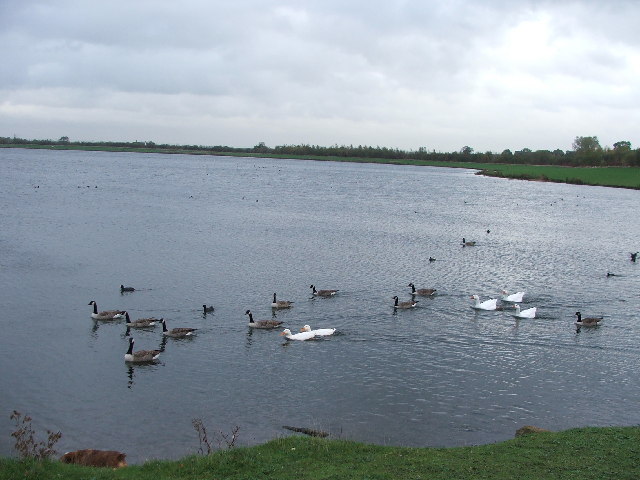
Anglers Loop Anticlockwise
Wintersett, West Yorkshire
An anticlockwise loop around the lake at Anglers Country Park follows well-maintained paths through woodland and open parkland.

Anglers and Haw Parks
Wakefield, England
An Adjacent loops begins and ends at the road junction at the SE corner of Country Park car park, making an anticlockwise round around…

River Calder to Horbury
Wakefield, England
An anti-clockwise loop starts and finishes at the bend in Thornes Moor Road, moves above Lupset Pond, continues to Old Mill Stream, and…

River Aire and Rothwell Country Park
Leeds, England
Starting from Bullough Lane and first making a loop around Skelton Lake before coming back via the same route and making Around Rothwell…

Ackworth 5
Ackworth, England
Along the multi-use path and lane to the turnaround at the railway tunnel
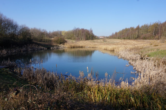
Fitzwilliam Country Park Loop
Fitzwilliam, West Yorkshire
Clockwise loop around Fitzwilliam Country Park. Good most of the year even when it’s rained heavy as it avoids sections that don't drain…

The Ackworths Road Run
Ackworth, England
This run connects Ackworth Moor Top, High Ackworth, and Low Ackworth, primarily using pavements and lanes.

River Aire, Newton to Brotherton
Leeds, England
An off-road route starts and finishes on track bend 80m south of the Newton Ings Nature Reserve car park and returns via Path bend at…

Cave Lane
Leeds, England
A loop starts and finishes at Junction of Main Street and Moor Knoll Lane (start SE side of Main Street, finish NW side of Main Street)…

Horbury Railway and River 5
Horbury, England
This clockwise loop from Horbury takes you along Green Lane then a paved path to go and under the railway, leading to a scenic, unpaved…
Nearby towns
Also try running routes in these places near Normanton.
Looking for a shorter run? See 5K running routes near me.