

Explore the Penkridge loop
Location: Penkridge, Staffordshire
This 4.5 km loop around Penkridge is run entirely on pavement and roads, offering a straightforward circuit with minimal elevation change. The climbing is concentrated in one part of the loop, with around 25 metres of ascent, and descents are similarly grouped.
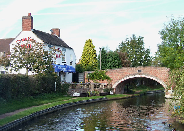
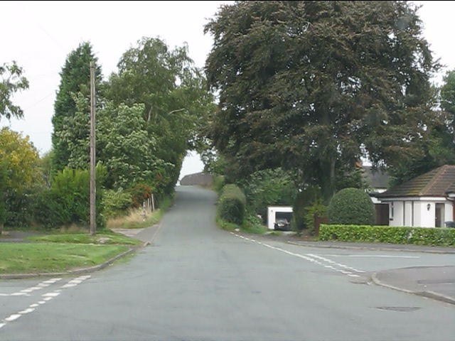
The route takes in residential streets and quiet lanes, including Clay Street, Boscomoor Lane, Wolgarston Way, and Leacroft Road. It passes close to the Staffordshire and Worcestershire Canal for a stretch, and crosses the River Penk.