
Skamper
4.0km

Lichfield 4 — 4.0 km Running Route

Lichfield 4 is a 4.0 km (2.5 miles) loop in Lichfield, Staffordshire: flat, with 19 m of climb, on paved ground.

19 mAscent
Paved100%Paved
0/5Hilly

Start anywhere route. Jump on the course line at any point — wherever you start will also be your finish point.

Lichfield 4 running route
Loading map…

Photos

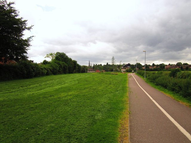
Lichfield 4 - Photo 1
Lichfield 4 - Photo 2
Lichfield 4 - Photo 3
Lichfield 4 - Photo 4
Lichfield 4 - Photo 5

Elevation

Explore the Lichfield 4

Location: Lichfield, Staffordshire

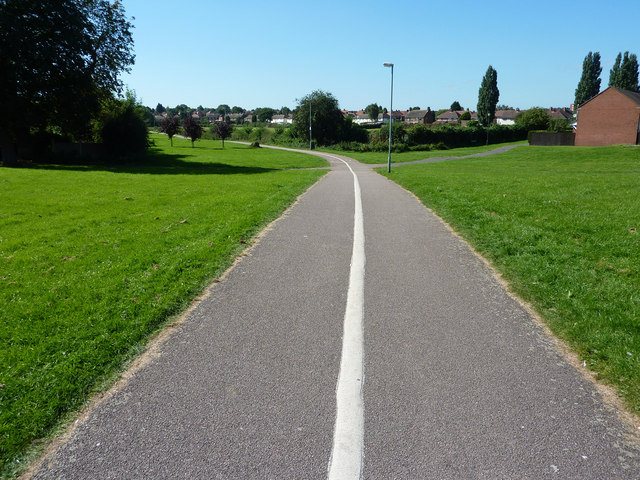
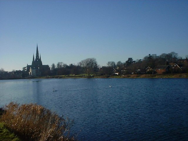
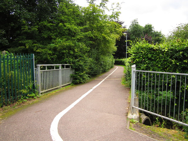
A four-kilometre circular route through Lichfield, run entirely on pavement and tarmac footpaths. It connects quiet residential streets and green corridors near Curborough Brook with the open waterside path around Stowe Pool. The ground remains essentially flat throughout, with barely fifteen metres of gentle undulation spread across the circuit.

Tarmac paths and wide pavements make for clean, dependable footing the whole way round, alternating between suburban avenues and the open, exposed perimeter of the water. A straightforward and level town circuit with simple navigation and reliable running underfoot.

Common questions

How long is this route?
It's a 4.0 km loop in Lichfield, Staffordshire with around 19 metres of total ascent.
How long will it take me to run it?
Use the 'Your time estimate' panel at the top of this page — it predicts your finish time for this exact route from your age, sex and most recent benchmark, accounting for distance, ascent and surface.
Is it hilly?
No. It rates 0 out of 5 on our hill scale — essentially flat. About 5 metres of climb per kilometre, 19 metres in total.
What's the surface like?
It's 100% paved — runnable in road shoes year-round.

Reviews (1)

JakeOct 2026

Lovely and flat all around

Shoe suggestion: Road

Sign in to write a review.

Runs on this route

Each runner appears once, with their fastest time — however they recorded it (app, Strava or Garmin).

Loading leaderboard…

Nearby Runs

Explore more runs