
Skamper
6.9km

Burton Joyce - Cocker Beck — 6.9 km Running Out-and-back

Burton Joyce - Cocker Beck is a 6.9 km (4.3 miles) out-and-back in Burton Joyce, Nottinghamshire: flat, with 0 m of climb, on trail ground.

0 mAscent
Paved0%Paved
0/5Hilly
Burton Joyce - Cocker Beck running route
Loading map…

Photos

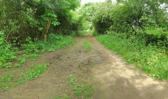
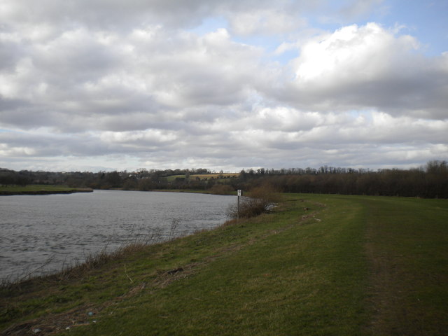
Burton Joyce - Cocker Beck - Photo 1
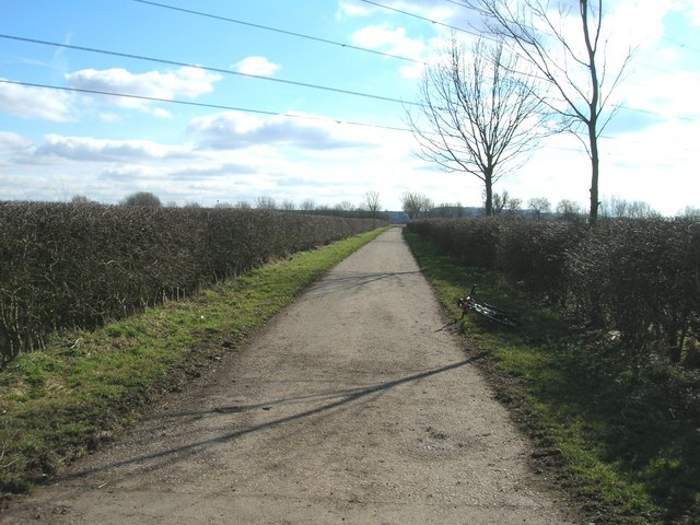
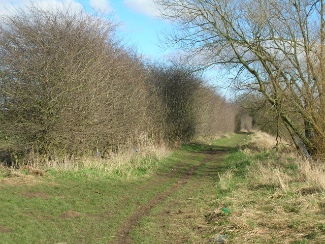
Burton Joyce - Cocker Beck - Photo 2
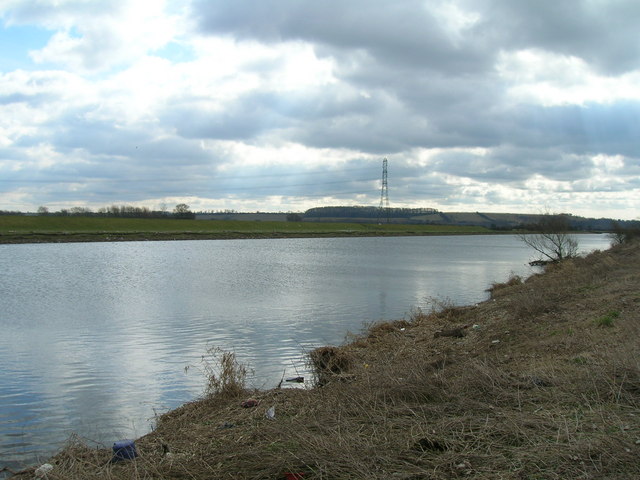
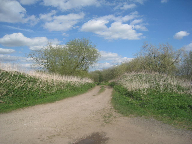
Burton Joyce - Cocker Beck - Photo 3
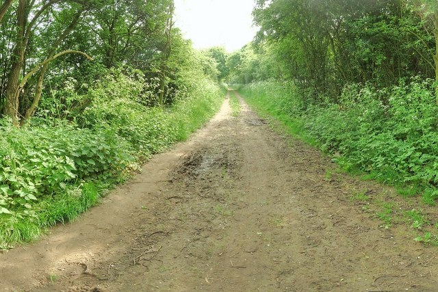
Burton Joyce - Cocker Beck - Photo 4
Burton Joyce - Cocker Beck - Photo 5
Burton Joyce - Cocker Beck - Photo 6
Burton Joyce - Cocker Beck - Photo 7

Elevation

Explore the Burton Joyce - Cocker Beck

Location: Burton Joyce, Nottinghamshire

An out-and-back loop from Burton Joyce, following the Trent Valley Way east along the riverbank to where Cocker Beck joins the Trent, returning on Trent Lane, a track rather than a road, so you're off tarmac and away from traffic the whole run.

The riverside leg is flat, open floodplain running on grassy paths, with wide views across the water — firm and fast in summer, soft and muddy after rain or when the river's been up. Trent Lane gives you a firmer, more consistent surface for the return, good for winding the pace up on tired legs.

Common questions

How long is this route?
It's a 6.9 km out-and-back in Burton Joyce, Nottinghamshire with around 0 metres of total ascent.
How long will it take me to run it?
Use the 'Your time estimate' panel at the top of this page — it predicts your finish time for this exact route from your age, sex and most recent benchmark, accounting for distance, ascent and surface.
Is it hilly?
No. It rates 0 out of 5 on our hill scale — essentially flat. About 0 metres of climb per kilometre, 0 metres in total.
What's the surface like?
It's an off-road route — trail shoes are recommended and underfoot can be soft or rocky in places.

Reviews (1)

JakeJul 2026

Peaceful loop. Can work with either trail or road shoes.

Shoe suggestion: Road

Sign in to write a review.

Keep this run brilliant — report an issue

Every Skamper route is community-monitored. If the path is unclear, blocked, dangerous, or the GPX doesn't match reality — tell us and we'll check it.

Runs on this route

Each runner appears once, with their fastest time — however they recorded it (app, Strava or Garmin).

Loading leaderboard…

Nearby Runs

Explore more runs