
Skamper
3.9km

Aylestone Meadows — 3.9 km Running Route

Aylestone Meadows is a 3.9 km (2.4 miles) loop in Aylestone, City of Leicester: flat, with 0 m of climb, on mostly paved ground.

0 mAscent
Paved72%Paved
0/5Hilly

Start anywhere route. Jump on the course line at any point — wherever you start will also be your finish point.

Aylestone Meadows running route
Loading map…

Photos

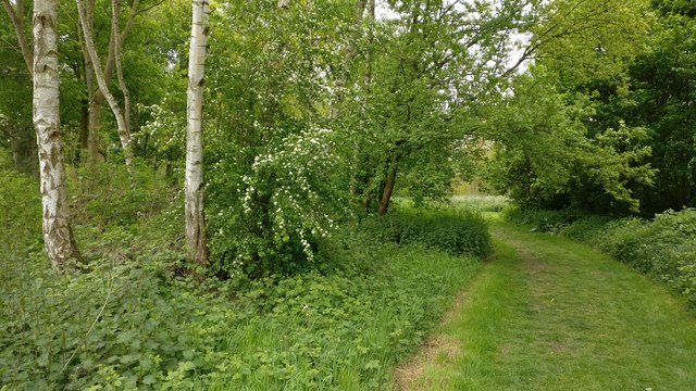
Aylestone Meadows - Photo 1
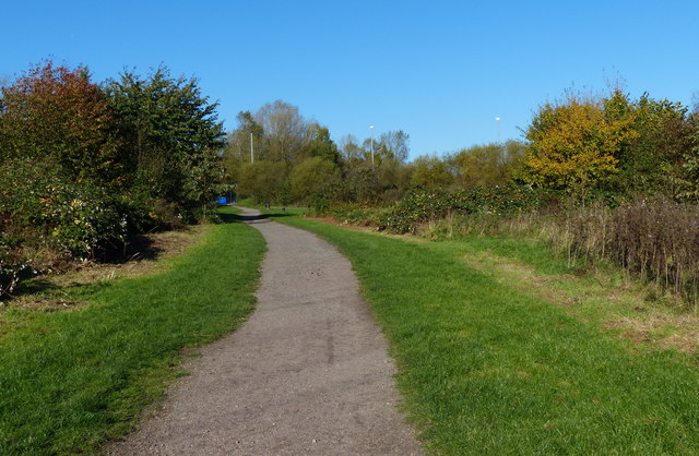
Aylestone Meadows - Photo 2
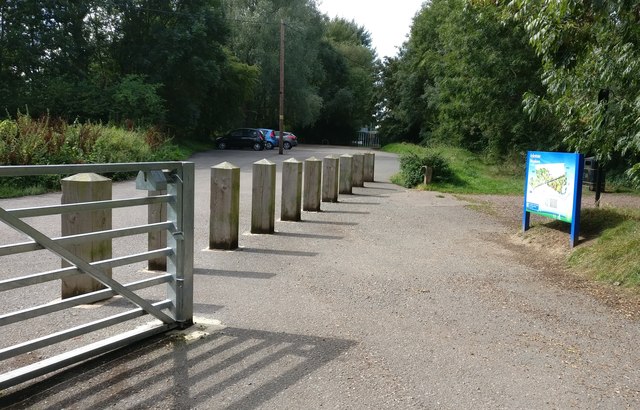
Aylestone Meadows - Photo 3
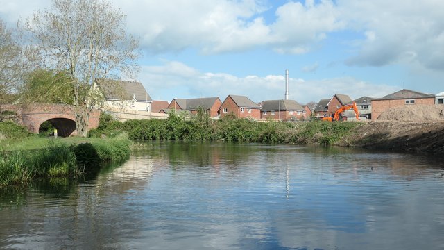
Aylestone Meadows - Photo 4

Elevation

Explore the Aylestone Meadows

Location: Aylestone, City of Leicester

This short, flat loop in Aylestone offers a gentle run, with roughly 4 km of running on a mix of paved and off-road surfaces. The circuit is essentially flat, with no net elevation change and any small climbs spread evenly around the loop.

The route takes in a stretch of the Grand Union Canal Towpath, running alongside the water, before heading onto the Great Central Way. Expect a mix of tarmac and compacted paths underfoot, making for a straightforward run through the area.

Common questions

How long is this route?
It's a 3.9 km loop in Aylestone, City of Leicester with around 0 metres of total ascent.
How long will it take me to run it?
Use the 'Your time estimate' panel at the top of this page — it predicts your finish time for this exact route from your age, sex and most recent benchmark, accounting for distance, ascent and surface.
Is it hilly?
No. It rates 0 out of 5 on our hill scale — essentially flat. About 0 metres of climb per kilometre, 0 metres in total.
What's the surface like?
It's 72% paved with some unsurfaced sections — road shoes are fine for most runners.

Reviews (1)

JakeAug 2026

Peaceful and flat loop perfect for chilled out easy runs

Shoe suggestion: Road

Sign in to write a review.

Runs on this route

Each runner appears once, with their fastest time — however they recorded it (app, Strava or Garmin).

Loading leaderboard…

Nearby Runs

Explore more runs