
Skamper
12.6km

Lanchester Valley Railway Path — 12.6 km Running Out-and-back

Lanchester Valley Railway Path is a 12.6 km (7.8 miles) out-and-back in Brandon and Byshottles, County Durham: flat, with 24 m of climb, on trail ground.

24 mAscent
Paved0%Paved
0/5Hilly
Lanchester Valley Railway Path running route
Loading map…

Photos

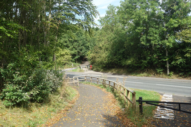
Lanchester Valley Railway Path - Photo 1
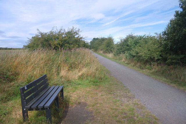
Lanchester Valley Railway Path - Photo 2
Lanchester Valley Railway Path - Photo 3
Lanchester Valley Railway Path - Photo 4
Lanchester Valley Railway Path - Photo 5

Elevation

Explore the Lanchester Valley Railway Path

Location: Brandon and Byshottles, County Durham

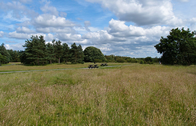
This out-and-back route starts near Broompark, following the Lanchester Valley Walk. Almost entirely off-road, the route uses a mix of former railway paths and well-surfaced trails, making it ideal for maintaining a steady pace. The gently undulating terrain provides easy, consistent running, while the green corridor offers a peaceful setting away from busy roads. After reaching the turnaround point, the route retraces the same path, making it an excellent choice for relaxed runs, tempo efforts or everyday training.

Common questions

How long is this route?
It's a 12.6 km out-and-back in Brandon and Byshottles, County Durham with around 24 metres of total ascent.
How long will it take me to run it?
Use the 'Your time estimate' panel at the top of this page — it predicts your finish time for this exact route from your age, sex and most recent benchmark, accounting for distance, ascent and surface.
Is it hilly?
No. It rates 0 out of 5 on our hill scale — essentially flat. About 2 metres of climb per kilometre, 24 metres in total.
What's the surface like?
It's an off-road route — trail shoes are recommended and underfoot can be soft or rocky in places.

Reviews (1)

PaulAug 2026

Gorgeous off road route that allows a chance to pick up the pace on gravel tracks

Shoe suggestion: Trail

Sign in to write a review.

Keep this run brilliant — report an issue

Every Skamper route is community-monitored. If the path is unclear, blocked, dangerous, or the GPX doesn't match reality — tell us and we'll check it.

Runs on this route

Each runner appears once, with their fastest time — however they recorded it (app, Strava or Garmin).

Loading leaderboard…

Nearby Runs

Explore more runs