
Skamper
21.2km

Illgillhead, Whin Rigg and Burnmoor Tarn from Wasdale — 21.2 km Running Route

Illgillhead, Whin Rigg and Burnmoor Tarn from Wasdale is a 21.2 km (13.2 miles) loop in Wasdale, Cumberland: hilly, with 876 m of climb, on trail ground.

876 mAscent
Paved5%Paved
5/5Hilly
Illgillhead, Whin Rigg and Burnmoor Tarn from Wasdale running route
Loading map…

Photos

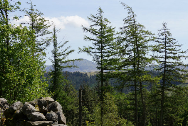
Illgillhead, Whin Rigg and Burnmoor Tarn from Wasdale - Photo 1
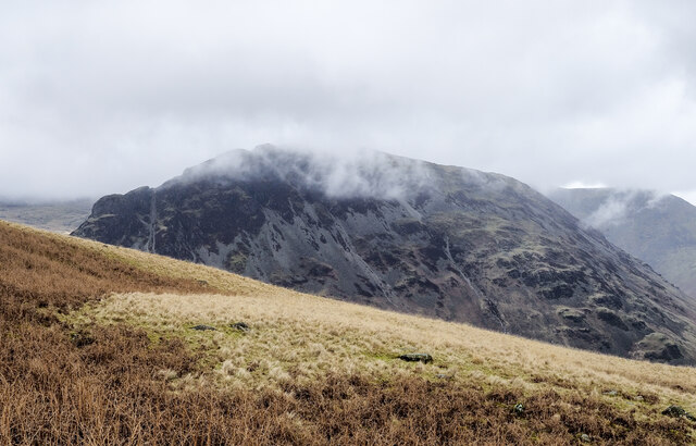
Illgillhead, Whin Rigg and Burnmoor Tarn from Wasdale - Photo 2
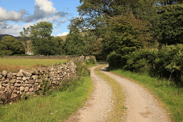
Illgillhead, Whin Rigg and Burnmoor Tarn from Wasdale - Photo 3
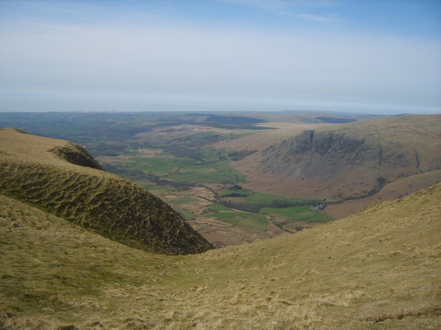
Illgillhead, Whin Rigg and Burnmoor Tarn from Wasdale - Photo 4

Elevation

Explore the Illgillhead, Whin Rigg and Burnmoor Tarn from Wasdale

Location: Wasdale, Cumberland

This is my favourite run in the Lake District! It's a circular route covering just over 21 km of almost entirely off-road terrain, with roughly 875m of climbing spread throughout. The biggest climb, a sustained ascent of around 525m, comes early on, taking you up towards Illgill Head.

From there, you continue across open fell over Whin Rigg and Irton Fell. It's mostly nicely runnable terrain though - lots of undulating grassy paths - which is what I love about it. You then drop down through the woods on some fun little paths, before come back through the valley and past Burnmoor Tarn.

Amazing views and runnable trails = the perfect loop.

Only thing to watch out for is the right of way runs through a farm, which has a dog that likes to do a lot of barking.

Common questions

How long is this route?
It's a 21.2 km loop in Wasdale, Cumberland with around 876 metres of total ascent.
How long will it take me to run it?
Use the 'Your time estimate' panel at the top of this page — it predicts your finish time for this exact route from your age, sex and most recent benchmark, accounting for distance, ascent and surface.
Is it hilly?
Yes — seriously. It rates 5 out of 5 on our hill scale — long, steep climbing throughout. About 41 metres of climb per kilometre, 876 metres in total.
What's the surface like?
It's an off-road route — trail shoes are recommended and underfoot can be soft or rocky in places.

Reviews (1)

EliseAug 2026

Just the perfect day out in the Lakes

Shoe suggestion: Trail

Sign in to write a review.

Keep this run brilliant — report an issue

Every Skamper route is community-monitored. If the path is unclear, blocked, dangerous, or the GPX doesn't match reality — tell us and we'll check it.

Runs on this route

Each runner appears once, with their fastest time — however they recorded it (app, Strava or Garmin).

Loading leaderboard…

Nearby Runs

Explore more runs