
Skamper
21.1km

Battersea to Barnes Half Marathon — 21.1 km Running Route

Battersea to Barnes Half Marathon is a 21.1 km (13.1 miles) loop in Battersea, England: flat, with 60 m of climb, on mixed ground.

60 mAscent
Paved50%Paved
0/5Hilly
Battersea to Barnes Half Marathon running route
Loading map…

Photos

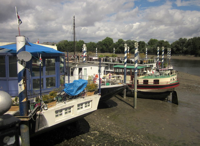
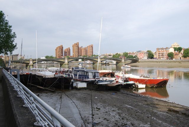
Battersea to Barnes Half Marathon - Photo 1
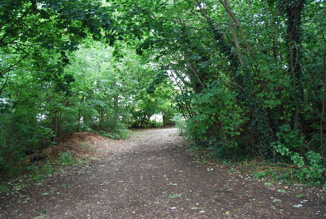
Battersea to Barnes Half Marathon - Photo 2
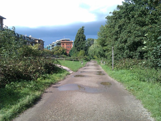
Battersea to Barnes Half Marathon - Photo 3
Battersea to Barnes Half Marathon - Photo 4
Battersea to Barnes Half Marathon - Photo 5
Battersea to Barnes Half Marathon - Photo 6
Battersea to Barnes Half Marathon - Photo 7

Elevation

Explore the Battersea to Barnes Half Marathon

Location: Battersea, England

This half marathon distance run starts at Albert Bridge and follows the Thames Path west, taking in Wandsworth, Putney, and Barnes before returning. It's a journey along the river making for a gently undulating run with a slight net uphill bias.

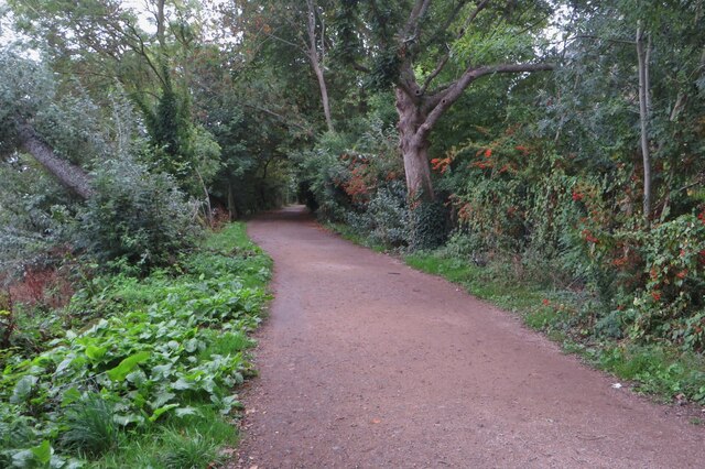
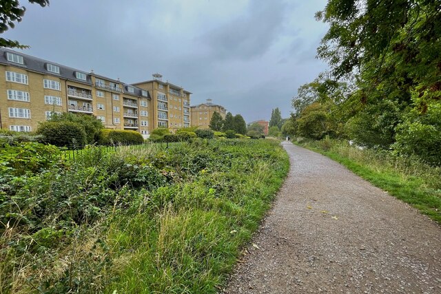
Underfoot, expect a roughly even mix of paved and off-road surfaces as you trace the river's edge. The route is largely traffic-free, with only three road crossings to navigate. This is a good option for a longer run along the iconic Thames.

Common questions

How long is this route?
It's a 21.1 km loop in Battersea, England with around 60 metres of total ascent.
How long will it take me to run it?
Use the 'Your time estimate' panel at the top of this page — it predicts your finish time for this exact route from your age, sex and most recent benchmark, accounting for distance, ascent and surface.
Is it hilly?
No. It rates 0 out of 5 on our hill scale — essentially flat. About 3 metres of climb per kilometre, 60 metres in total.
What's the surface like?
It's roughly half paved (50%) and half trail. Light trail shoes are the safest pick, especially after rain.

Reviews (1)

MartinAug 2026

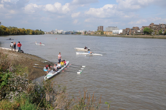
Running along the river is always great and there are nice places to stop for refreshement around the rowing clubs in Putney

Shoe suggestion: Road

Sign in to write a review.

Keep this run brilliant — report an issue

Every Skamper route is community-monitored. If the path is unclear, blocked, dangerous, or the GPX doesn't match reality — tell us and we'll check it.

Runs on this route

Each runner appears once, with their fastest time — however they recorded it (app, Strava or Garmin).

Loading leaderboard…

Nearby Runs

Explore more runs