
Skamper
28.7km

Regent's Canal from Maida Vale — 28.7 km Running Out-and-back

Regent's Canal from Maida Vale is a 28.7 km (17.8 miles) out-and-back in Maida Vale, England: flat, with 106 m of climb, on paved ground.

106 mAscent
Paved100%Paved
0/5Hilly
Regent's Canal from Maida Vale running route
Loading map…

Photos

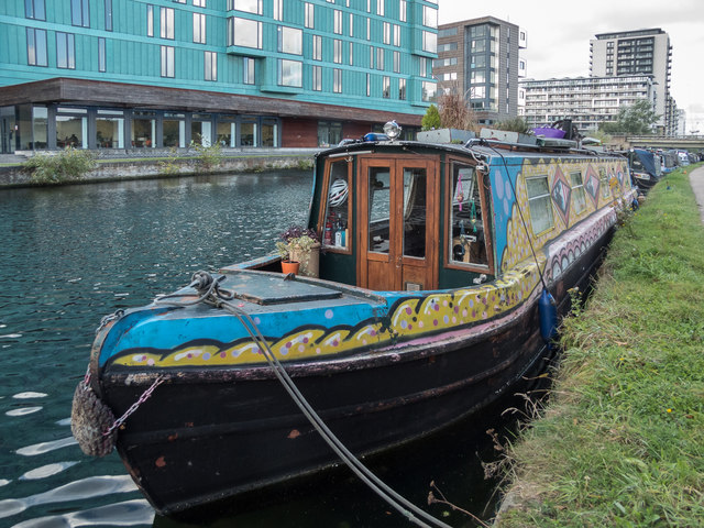
Regent's Canal from Maida Vale - Photo 1
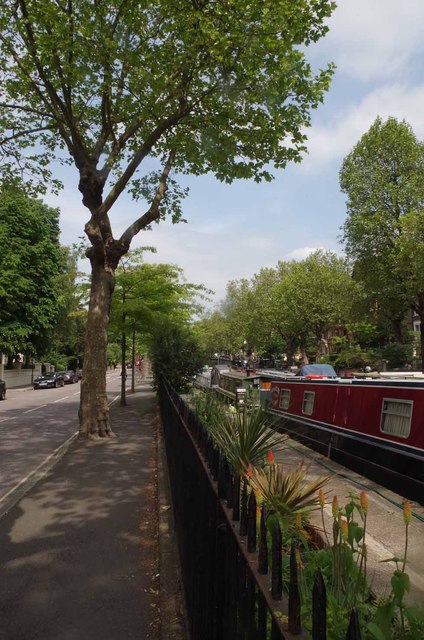
Regent's Canal from Maida Vale - Photo 2
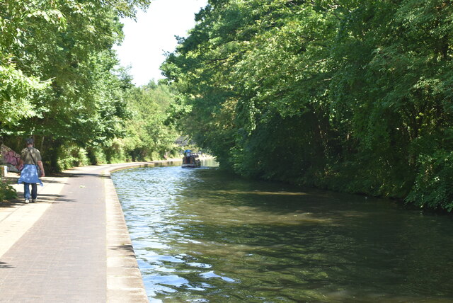
Regent's Canal from Maida Vale - Photo 3
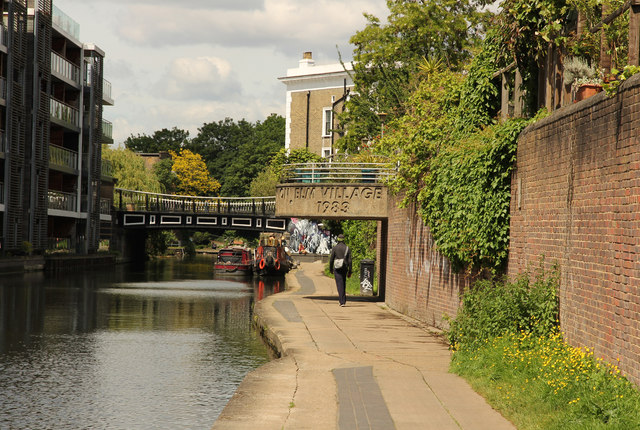
Regent's Canal from Maida Vale - Photo 4

Elevation

Explore the Regent's Canal from Maida Vale

Location: Maida Vale, England

Centred around Maida Vale, this out-and-back route covers roughly 29 km along the Regent’s Canal towpath. Running out to a turnaround point and retracing the line in reverse, the going is almost entirely paved, sticking to hard-surfaced paths alongside the water. Climbing is negligible, with barely 110 metres of gentle undulation across the entire journey, mostly found at ramps and lock crossings.

The canal corridor cuts a clear line across the city, passing moored narrowboats and brick basins, with Primrose Hill and Hoxton sitting just off the towpath. Waymarked routes such as the New River Path and the Diana Princess of Wales Memorial Walk lie close by, while sections of the Jubilee Greenway run directly alongside the water. Being separated from road traffic allows for an unbroken rhythm, though cobbled sections around locks and tight blind corners under bridges call for steady attention.

Common questions

How long is this route?
It's a 28.7 km out-and-back in Maida Vale, England with around 106 metres of total ascent.
How long will it take me to run it?
Use the 'Your time estimate' panel at the top of this page — it predicts your finish time for this exact route from your age, sex and most recent benchmark, accounting for distance, ascent and surface.
Is it hilly?
No. It rates 0 out of 5 on our hill scale — essentially flat. About 4 metres of climb per kilometre, 106 metres in total.
What's the surface like?
It's 100% paved — runnable in road shoes year-round.

Reviews (1)

DenisOct 2026

If you want a long run that doesn’t fight you, this one is hard to beat. The route is about 33 km (20.75 miles) and nearly closes on itself, so you won’t need to plan a return trip. Almost all of it follows the Regent’s Canal towpath, and the terrain is flat from start to finish, which makes it a good choice for steady mileage, marathon-distance training, or a relaxed long run where you just want to keep the legs turning over. The scenery changes as you go. Early on you’ll pass the quieter, leafy stretch around Little Venice, where willows hang over the water and narrowboats sit moored along the bank. Further along, the path picks up energy around the bustle of Camden, with lock-side cafés, market crowds, and colourful street art. The canal itself is the star: you’ll spend a lot of the run watching barges, herons, and the odd cyclist weave past the locks.

Shoe suggestion: Road

Sign in to write a review.

Keep this run brilliant — report an issue

Every Skamper route is community-monitored. If the path is unclear, blocked, dangerous, or the GPX doesn't match reality — tell us and we'll check it.

Runs on this route

Each runner appears once, with their fastest time — however they recorded it (app, Strava or Garmin).

Loading leaderboard…

Nearby Runs

Explore more runs