

Skamper
11.2km

Waterlink Way - Kent House to Greenwich — 11 km Running Point-to-point

by Skamper
18 mAscent
Paved100%Paved
0/5Hilly
Waterlink Way - Kent House to Greenwich running route
Loading map…

Photos

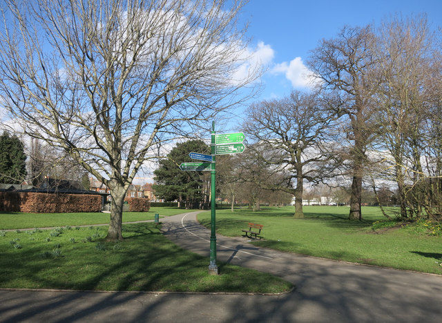
Waterlink Way - Kent House to Greenwich - Photo 1
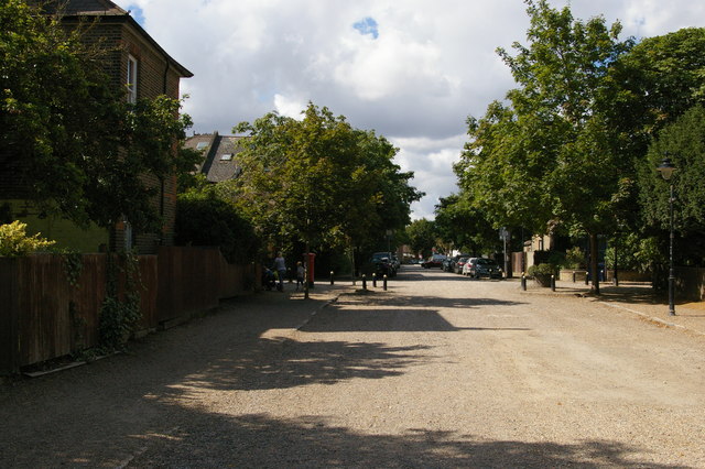
Waterlink Way - Kent House to Greenwich - Photo 2
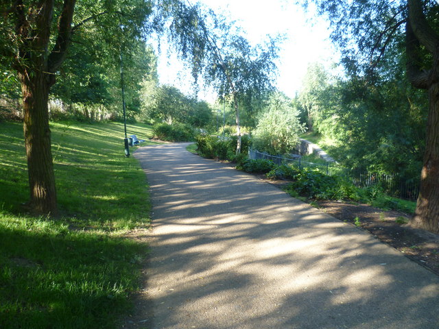
Waterlink Way - Kent House to Greenwich - Photo 3
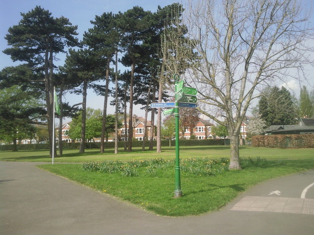
Waterlink Way - Kent House to Greenwich - Photo 4

Elevation

Explore the Waterlink Way - Kent House to Greenwich

Location: Penge, England

This point-to-point run follows the Waterlink Way from Kent House to Greenwich, linking parks, riverside paths and traffic-free green corridors through south-east London. The route is predominantly on paved surfaces, with occasional compact paths, making it well suited to maintaining a steady pace. Following the course of the River Ravensbourne for much of the journey, it passes through a series of parks and open spaces before reaching the riverside at Greenwich. With minimal climbing and a good balance of urban and green surroundings, it’s an enjoyable route for runners looking to explore one of London’s longest continuous off-road corridors.

Common questions

Reviews (1)

AlexAug 2026

A scenic run along one of South East London's best traffic-free routes along the Waterlink Way from Kent House to Greenwich - Cutty Sark plenty of greenery and waterside scenery - a favourite and nice run - easy miles

Shoe suggestion: Road

Sign in to write a review.

Keep this run brilliant — report an issue

Every Skamper route is community-monitored. If the path is unclear, blocked, dangerous, or the GPX doesn't match reality — tell us and we'll check it.

Runs on this route

Loading leaderboard…

Nearby Runs

Explore more runs