
Skamper
11.5km

Roseburn cycle path and Water of Leith circuit — 11.5 km Running Route

Roseburn cycle path and Water of Leith circuit is a 11.5 km (7.1 miles) loop in Murrayfield, Scotland: flat, with 94 m of climb, on paved ground.

94 mAscent
Paved95%Paved
1/5Hilly

Start anywhere route. Jump on the course line at any point — wherever you start will also be your finish point.

Roseburn cycle path and Water of Leith circuit running route
Loading map…

Photos

Roseburn cycle path and Water of Leith circuit - Photo 1
Roseburn cycle path and Water of Leith circuit - Photo 2
Roseburn cycle path and Water of Leith circuit - Photo 3
Roseburn cycle path and Water of Leith circuit - Photo 4
Roseburn cycle path and Water of Leith circuit - Photo 5

Elevation

Explore the Roseburn cycle path and Water of Leith circuit

Location: Murrayfield, Scotland

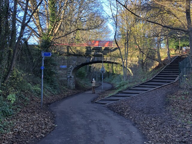
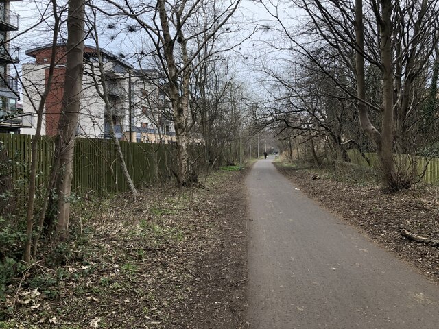
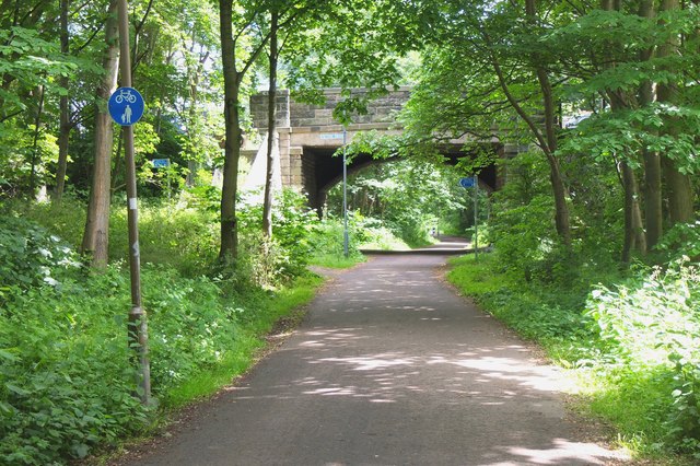
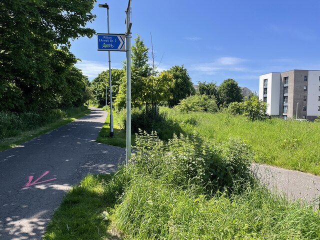
**What to expect** A city loop that barely touches a road, linking Edinburgh's old railway paths with the Water of Leith. The Roseburn and Chancelot paths carry you through Craigleith, Drylaw, Crewe Toll and Trinity on wide, firm tarmac, with gentle railway gradients and bridges taking you over the streets below.

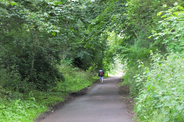
The riverside section is a complete change of character. The Water of Leith path winds through St Mark's Park, Canonmills, Stockbridge and Dean Village, narrower and more scenic, with the city appearing in glimpses of galleries, weirs and stone tenements.

The climbing is modest and the descents are spread evenly around the loop, so there's no single grind, just a steady rhythm wherever you join. Surfaces are good year-round, though the riverside stretch can be busy with walkers and bikes at weekends, especially through Stockbridge and Dean Village. A great one for a steady run with plenty to look at, and easy navigation once you're on the path network.

Common questions

How long is this route?
It's a 11.5 km loop in Murrayfield, Scotland with around 94 metres of total ascent.
How long will it take me to run it?
Use the 'Your time estimate' panel at the top of this page — it predicts your finish time for this exact route from your age, sex and most recent benchmark, accounting for distance, ascent and surface.
Is it hilly?
Barely. It rates 1 out of 5 on our hill scale — gently undulating. About 8 metres of climb per kilometre, 94 metres in total.
What's the surface like?
It's 95% paved — runnable in road shoes year-round.

Reviews (1)

MartinAug 2026

My favourite route in Edinburgh

Shoe suggestion: Road

Sign in to write a review.

Runs on this route

Each runner appears once, with their fastest time — however they recorded it (app, Strava or Garmin).

Loading leaderboard…

Nearby Runs

Explore more runs