
Skamper
8.7km

Around Lees Moor — 8.7 km Running Route

Around Lees Moor is a 8.7 km (5.4 miles) loop in Edensor CP, Derbyshire: hilly, with 202 m of climb, on mostly trail ground.

Peak District
202 mAscent
Paved25%Paved
3/5Hilly
Around Lees Moor running route
Loading map…

Photos

Around Lees Moor - Photo 1
Around Lees Moor - Photo 2
Around Lees Moor - Photo 3
Around Lees Moor - Photo 4
Around Lees Moor - Photo 5

Elevation

Explore the Around Lees Moor

Location: Edensor CP, Derbyshire

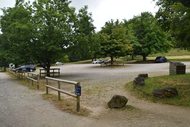
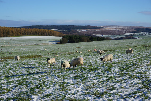
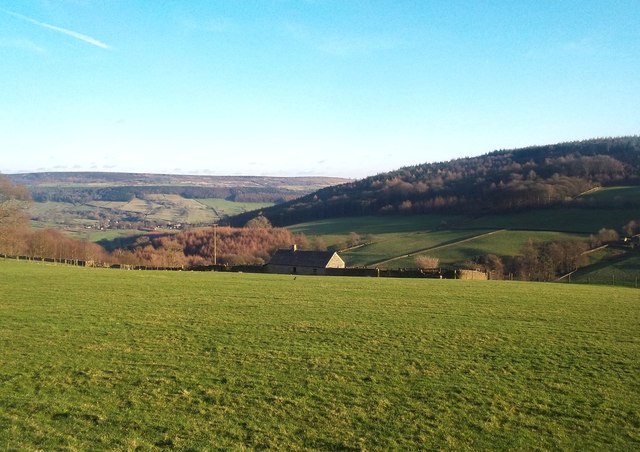
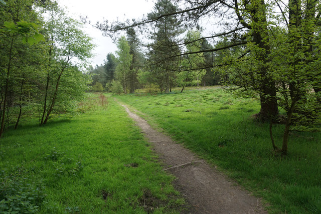
From Calton Lees Car Park, this 9 km lollipop route heads out along a brief stem before looping around the wooded slopes of Lees Moor. Underfoot is mostly off-road along woodland tracks, field paths and riverbanks, linked by occasional stretches of quiet lane.

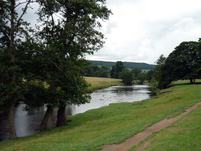
The main work comes early, with a steady climb of roughly 170 metres that winds up through Calton Lees and along the top edge of Manners Wood. After contouring the high ground, the trail breaks into a long, runnable descent through the middle section, dropping down towards the valley. The loop then picks up the Derwent Valley Heritage Way, following the River Derwent along flat ground before retracing the stem to the finish.

A balanced Peak District circuit pairing a stout opening climb with a flowing riverside finish.

Common questions

How long is this route?
It's a 8.7 km loop in Edensor CP, Derbyshire with around 202 metres of total ascent.
How long will it take me to run it?
Use the 'Your time estimate' panel at the top of this page — it predicts your finish time for this exact route from your age, sex and most recent benchmark, accounting for distance, ascent and surface.
Is it hilly?
Moderately. It rates 3 out of 5 on our hill scale — expect noticeable climbs. About 23 metres of climb per kilometre, 202 metres in total.
What's the surface like?
It's mostly off-road (around 75% trail). Trail shoes are recommended.

Reviews (1)

JakeOct 2026

Challenging trail run with great views at its highest peaks.

Shoe suggestion: Trail

Sign in to write a review.

Keep this run brilliant — report an issue

Every Skamper route is community-monitored. If the path is unclear, blocked, dangerous, or the GPX doesn't match reality — tell us and we'll check it.

Runs on this route

Each runner appears once, with their fastest time — however they recorded it (app, Strava or Garmin).

Loading leaderboard…

Nearby Runs

Explore more runs