

Skamper
6.2km

Hardknott Pass to Tongue Pot — 6.2 km Running Route

by Skamper

Hardknott Pass to Tongue Pot is a 6.2 km (3.8 miles) loop in Boot, Cumberland: hilly, with 118 m of climb, on mostly trail ground.

118 mAscent
Paved10%Paved
3/5Hilly
Hardknott Pass to Tongue Pot running route
Loading map…

Photos

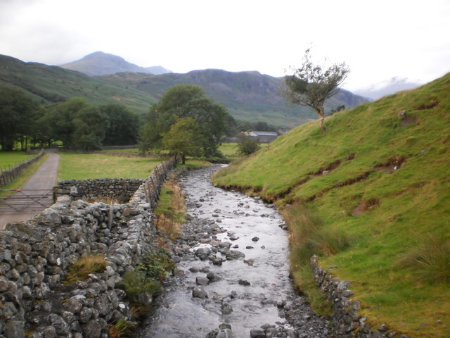
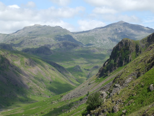
Hardknott Pass to Tongue Pot - Photo 1
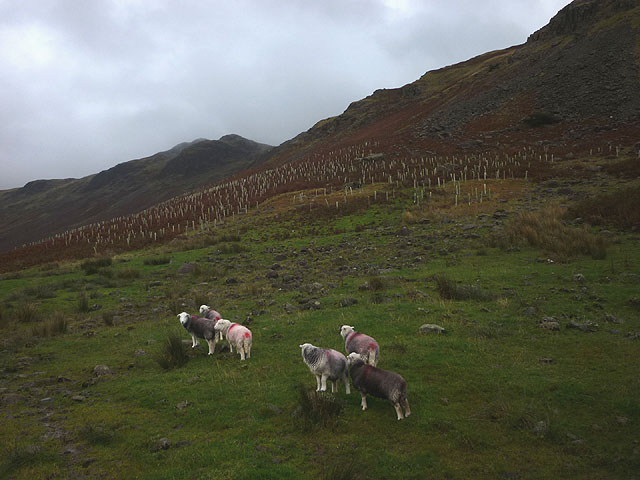
Hardknott Pass to Tongue Pot - Photo 2
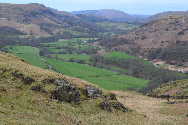
Hardknott Pass to Tongue Pot - Photo 3
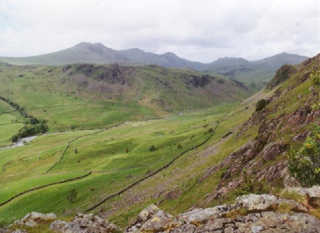
Hardknott Pass to Tongue Pot - Photo 4
Hardknott Pass to Tongue Pot - Photo 5

Elevation

Explore the Hardknott Pass to Tongue Pot

Location: Boot, Cumberland

This 7.7 km out-and-back in the Lake District starts with a steady climb of around 60 metres in the first kilometre, before levelling out for a long, relatively flat stretch.

The turnaround point is at Tongue Pot, after which you retrace your steps for a short while before hugging the River Esk all the way back. The return leg is net downhill by about 35 metres overall, with the largest descent of roughly 80 metres spread across the final 3.3 km.

Common questions

How long is this route?
It's a 6.2 km loop in Boot, Cumberland with around 118 metres of total ascent.
How long will it take me to run it?
Use the 'Your time estimate' panel at the top of this page — it predicts your finish time for this exact route from your age, sex and most recent benchmark, accounting for distance, ascent and surface.
Is it hilly?
Moderately. It rates 3 out of 5 on our hill scale — expect noticeable climbs. About 19 metres of climb per kilometre, 118 metres in total.
What's the surface like?
It's mostly off-road (around 90% trail). Trail shoes are recommended.

Reviews (1)

AshleyAug 2026

Beautiful Lake District run

Shoe suggestion: Trail

Sign in to write a review.

Runs on this route

Each runner appears once, with their fastest time — however they recorded it (app, Strava or Garmin).

Loading leaderboard…

Nearby Runs

Explore more runs