

Skamper
18.2km

Bristol to Bath Railway Path — 18 km Running Route

by Skamper
43 mAscent
Paved100%Paved
0/5Hilly
Bristol to Bath Railway Path running route
Loading map…

Photos

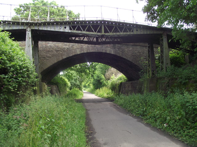
Bristol to Bath Railway Path - Photo 1
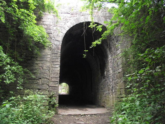
Bristol to Bath Railway Path - Photo 2
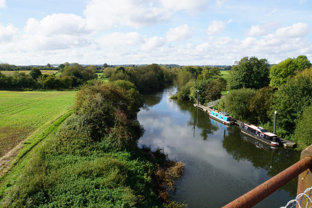
Bristol to Bath Railway Path - Photo 3

Elevation

Explore the Bristol to Bath Railway Path

Location: Whitehall, Bristol

This point-to-point run covers just over 18 km along the Bristol to Bath Railway Path, offering a net downhill journey of around 33 metres. The path is entirely paved, making for a smooth surface throughout. Climbing is concentrated early on, with the rest of the route featuring a steady, even descent towards Bath.

The path runs through a mix of open areas and sections alongside the Community Forest Path, with a long flat stretch of over 4 km to help settle into a rhythm. The final section joins the Kennet and Avon Canal Trail, leading into the city of Bath.

Common questions

Reviews (0)

Be the first to review this route

Sign in to share your thoughts about Bristol to Bath Railway Path.

Sign in to write a review.

Keep this run brilliant — report an issue

Every Skamper route is community-monitored. If the path is unclear, blocked, dangerous, or the GPX doesn't match reality — tell us and we'll check it.

Runs on this route

Loading leaderboard…

Nearby Runs

Explore more runs