

Skamper
18.2km

Bristol to Bath Railway Path — 18 km Running Route

by Skamper
43 mAscent
Paved100%Paved
0/5Hilly
Bristol to Bath Railway Path running route
Loading map…

Photos

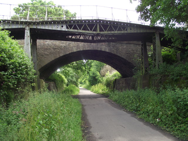
Bristol to Bath Railway Path - Photo 1
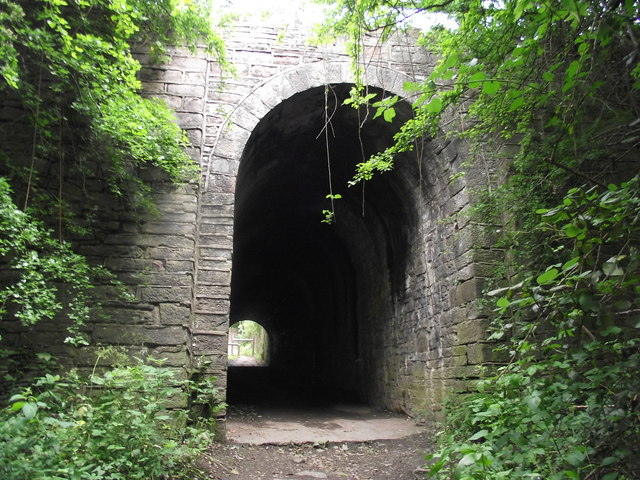
Bristol to Bath Railway Path - Photo 2
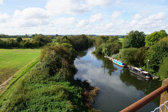
Bristol to Bath Railway Path - Photo 3

Elevation

Explore the Bristol to Bath Railway Path

Location: Whitehall, Bristol

This point-to-point run covers just over 18 km along the Bristol to Bath Railway Path, offering a net downhill journey of around 33 metres. The path is entirely paved, making for a smooth surface throughout. Climbing is concentrated early on, with the rest of the route featuring a steady, even descent towards Bath.

The path runs through a mix of open areas and sections alongside the Community Forest Path, with a long flat stretch of over 4 km to help settle into a rhythm. The final section joins the Kennet and Avon Canal Trail, leading into the city of Bath.

Common questions

Reviews (1)

LindseyJul 2026

An easy "straight-line" route with very few road crossings

Shoe suggestion: Road

Sign in to write a review.

Keep this run brilliant — report an issue

Every Skamper route is community-monitored. If the path is unclear, blocked, dangerous, or the GPX doesn't match reality — tell us and we'll check it.

Runs on this route

Loading leaderboard…

Nearby Runs

Explore more runs