


8.5
km
9k Run Wolsingham: Scenic Tunstall Reservoir Loop
1:08:51
Estimate
164.5 m
Ascent
20%
Paved
3/5
Hilly
CPs
Elevation
0.0 km
2.1 km
4.3 km
6.4 km
8.5 km
101 m
1 m
Route Overview & Local Insights
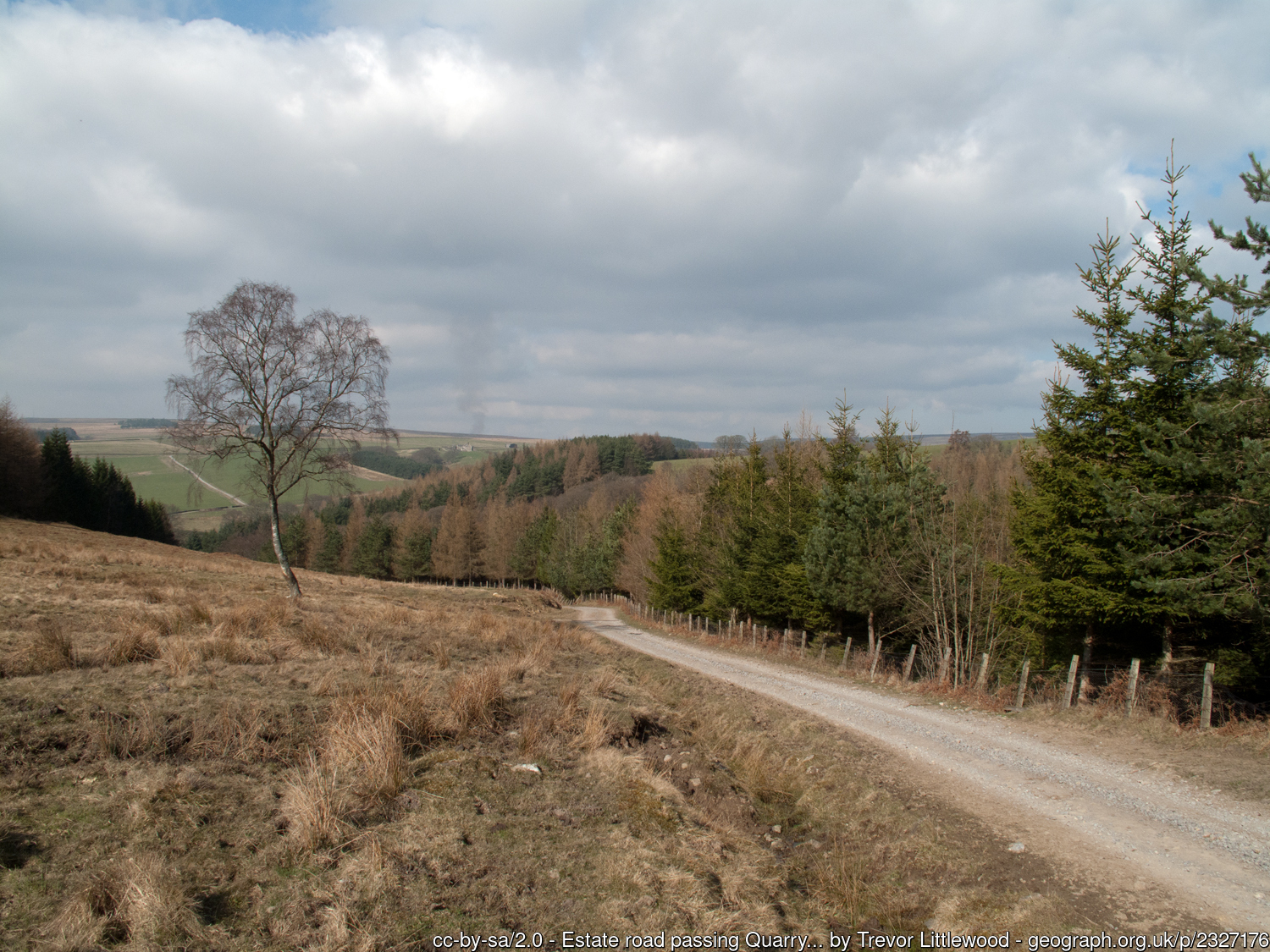
Tunstall Reservoir offers a captivating 8.5km trail experience through the heart of the Durham Dales. This route provides a challenging yet rewarding mixed-terrain adventure, featuring a sharp initial climb that will test your hill fitness before leveling out onto a scenic section of an old disused railway line. Runners can expect a blend of paved surfaces, gritty tracks, and lush grassy trails that can become pleasantly technical and heavy underfoot during the wetter months. With 165m of ascent, the "Sand Edge" portion offers breathtaking elevated views of the water before a sweeping descent leads you back to the reservoir banks, making it a perfect loop for those seeking a varied rural workout near Wolsingham.
Wolsingham is affectionately known as the "Gateway to Weardale" and is steeped in agricultural and industrial history. The Tunstall Reservoir itself was completed in 1879 to supply water to the expanding industrial towns of Teesside, and today it serves as a tranquil nature reserve and a Site of Special Scientific Interest (SSSI). Keep an eye out for local wildlife including herons and grebes as you navigate the surrounding woodland. The area's past is etched into the landscape, particularly as you traverse the former railway paths that once hauled stone and minerals through these rugged hills. After your run, the nearby historic market town of Wolsingham offers excellent local cafes and pubs to refuel after tackling the Weardale mud.
Plan Your Run
Pace Calculator
Estimate your finish time for this 8.5km hilly trail loop.
10k Training Plan
Build the endurance needed to conquer the Tunstall climbs with ease.
Injury Prevention
Keep your ankles strong for the uneven terrain and muddy tracks.
Nutrition Tools
Fuel right for this 8.5km circuit through the North Pennines landscape.
Hilly
Grassy
England
Scenic
Nature
Historic
9K
We use Cookies
This website uses cookies to ensure you get the best experience on our website.