
8.5
km
Thurlestone - Bantham Loop
1:08:43
Estimate
170.8 m
Ascent
30%
Paved
3/5
Hilly
CPs
Elevation
0.0 km
2.1 km
4.3 km
6.4 km
8.5 km
101 m
1 m
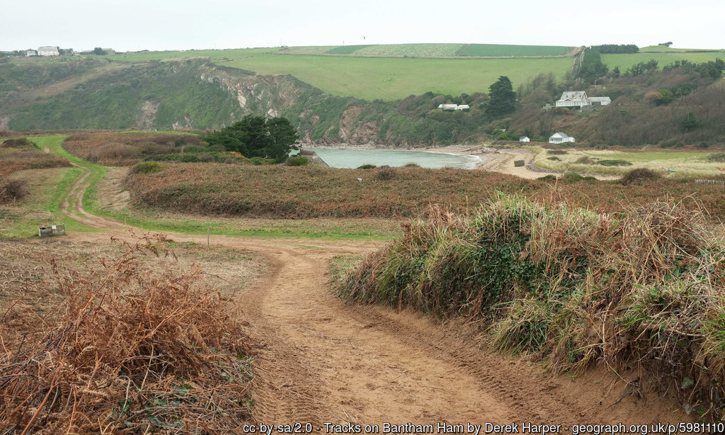
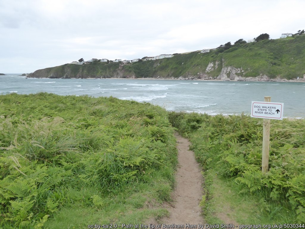
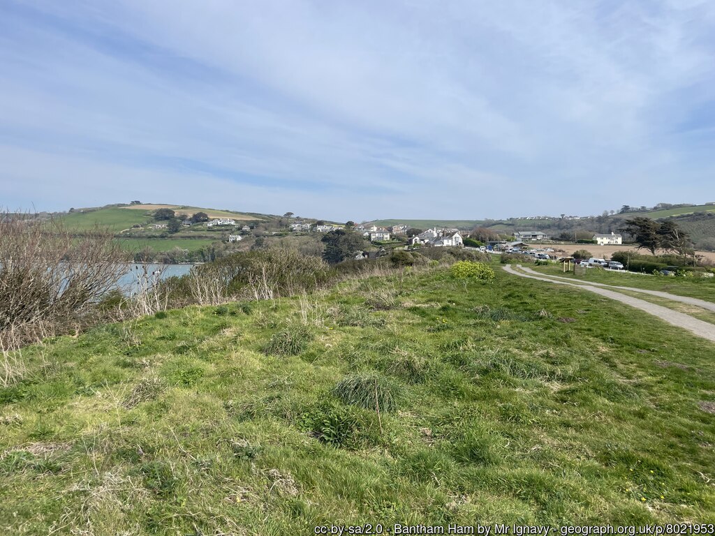
Route Overview & Local Insights
This 8.5km anticlockwise loop from Thurlestone provides a quintessential South Devon trail running experience, blending technical coastal paths with fast-rolling quiet lanes. With 171m of ascent, you’ll tackle a "hilly" profile that rewards every climb with sweeping views across Bigbury Bay. The terrain is impressively varied; expect a mix of roughly 30% paved surfaces transitioning into grassy headlands and sandy stretches around Bantham Ham. It’s an intermediate-level run where the coastal breeze is a constant factor, making the sheltered inland segments a welcome break before you hit the exposed, more rugged cliffs near Aunemouth.
Steeped in maritime history and natural beauty, this area is a crown jewel of the South Devon Area of Outstanding Natural Beauty. As you run past the iconic Thurlestone Rock—a massive arched stack of red Triassic sandstone—you’re seeing a landmark that has guided sailors for centuries. The turn at Bantham offers a glance at one of the UK’s premier surfing beaches and the historic Burgh Island in the distance. Running here feels like moving through a living postcard, where the ancient village charm of Thurlestone meets the wild, salt-sprayed energy of the Atlantic coast.
Plan Your Run
Pace Calculator
Calculate your target splits for this 8.5km coastal loop.
10k Training Plan
Step up from this distance with a structured training program.
Injury Prevention
Stay strong on uneven coastal trails with these essential tips.
Nutrition Tools
Fuel right for hilly 8.5km sessions in the Devon fresh air.
We use Cookies
This website uses cookies to ensure you get the best experience on our website.