


24.7
km
Neston Station to Bidston Station
3:58:05
Estimate
10.6 m
Ascent
50%
Paved
0/5
Hilly
CPs
Elevation
0.0 km
6.2 km
12.5 km
18.7 km
25.0 km
101 m
1 m
Route Overview & Local Insights
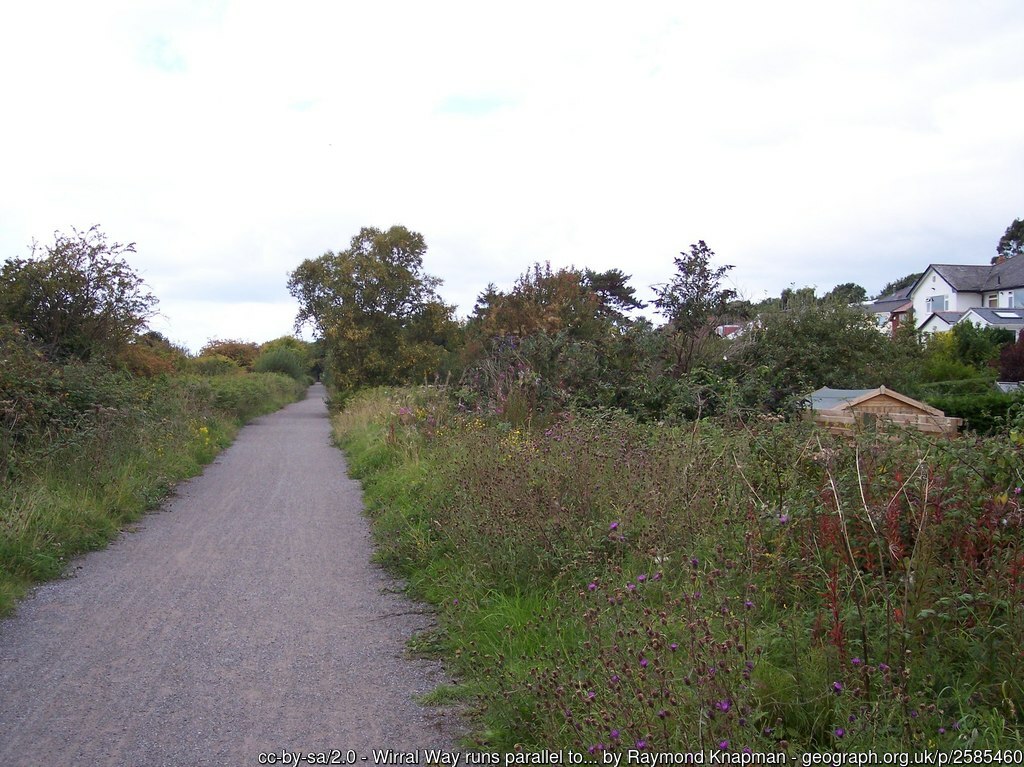
This 25km point-to-point journey from Neston Station to Bidston Station is a distance runner’s dream, offering a predominantly flat, fast, and traffic-free corridor through the heart of the Wirral. Following the historic Wirral Way, the terrain consists of a well-maintained mix of paved surfaces and firm trails, with a negligible ascent of just 11 meters. It is an ideal route for marathon training or a long-distance tempo run, allowing you to lock into a steady pace without the interruption of steep climbs. You’ll experience a beautiful transition from the sandstone-clad village feel of Neston into the lush canopy of the old railway line, enjoying sheltered woodland stretches that open up to sweeping views across the Dee Estuary towards the Welsh hills.
The route carries significant local history, tracing the path of the former Birchwood to Hooton railway line, which was closed in the 1960s as part of the Beeching cuts before becoming the UK’s first designated Country Park in 1973. Running this trail is like moving through a biological corridor; the "Green Line" connects various nature reserves and serves as a vital habitat for local wildlife. While the path feels wonderfully remote, it cleverly links the coastal character of Neston—once a major port before the Dee silted up—with the more industrial heritage of Bidston. Keep an eye out for the old station platforms that still stand as silent witnesses to the area's Victorian transport legacy.
Plan Your Run
Pace Calculator
Calculate your target splits for this flat 25km point-to-point route.
Training Plans
Perfect for long Sunday runs as part of your half marathon or marathon build.
Injury Prevention
Stay healthy while increasing your volume on the Wirral Way's varied surfaces.
Nutrition Tools
Plan your fueling strategy for this 25km effort through Neston and beyond.
This course includes one or more areas where higher levels of caution are recommended and your time is temporarily paused. We suggest reviewing the map in close up, where these sections are shown with dashed lines.
This course includes 0.3 km sections of dashed lines. The total distance for the course including these sections is 25.0 km
Run
Countryside
25K
England
Woodland
Scenic
Nature
Wildlife
We use Cookies
This website uses cookies to ensure you get the best experience on our website.