
7.8
km
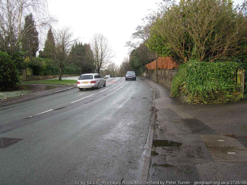
West Macclesfield
0:50:26
Estimate
22.2 m
Ascent
100%
Paved
0/5
Hilly
CPs
Elevation
0.0 km
2.0 km
4.0 km
6.0 km
8.0 km
101 m
1 m
Route Overview & Local Insights
This 8.0km loop offers a fantastic urban running experience through the western residential districts of Macclesfield. With a minimal ascent of just 22m and 100% paved surfaces, it is the perfect "go-to" route for maintaining pace when the nearby Peak District trails are too boggy. Runners will find the terrain consistently flat and predictable, making it ideal for tempo workouts or a steady mid-distance recovery run. The path winds through a mix of quiet suburban streets and wider thoroughfares, providing a safe and accessible environment for runners of all abilities looking to clock some mileage within the town limits.
Macclesfield, historically known as the "Silk Town," sits nestled against the western edge of the Pennines. While many flock here for the grueling climbs of the Cheshire Gritstone Trail, the west side of town offers a glimpse into the local community life, passing by Victorian-era architecture and modern developments. Running this route gives you a true feel for the town's geography, acting as a gateway between the industrious town center and the rolling Cheshire Plain. After your run, you’re just a short jog away from the independent cafes of the Picturedrome, a favorite local haunt for post-run refueling.
Plan Your Run
This course includes one or more areas where higher levels of caution are recommended and your time is temporarily paused. We suggest reviewing the map in close up, where these sections are shown with dashed lines.
This course includes 0.2 km sections of dashed lines. The total distance for the course including these sections is 8.0 km
We use Cookies
This website uses cookies to ensure you get the best experience on our website.